Kilkenny Visitor Maps Set (City, County & Outdoor)
2024
Designed by Peter-Tim Lynch and Ross Curran at designworks
Illustration: Gergő Gilicze
Categories: Promotional
Industry: Cultural
Tags: Illustration / Art direction
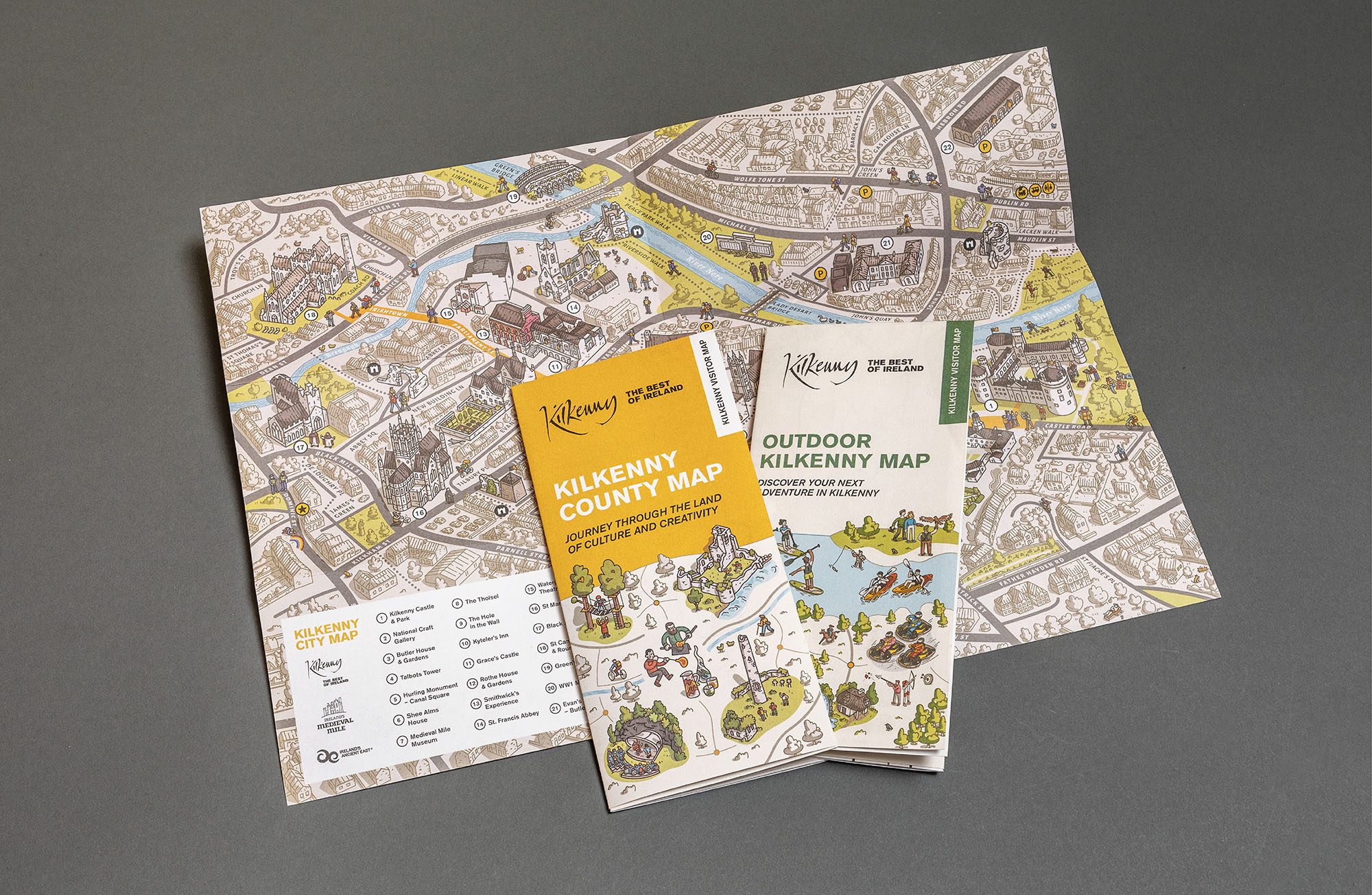
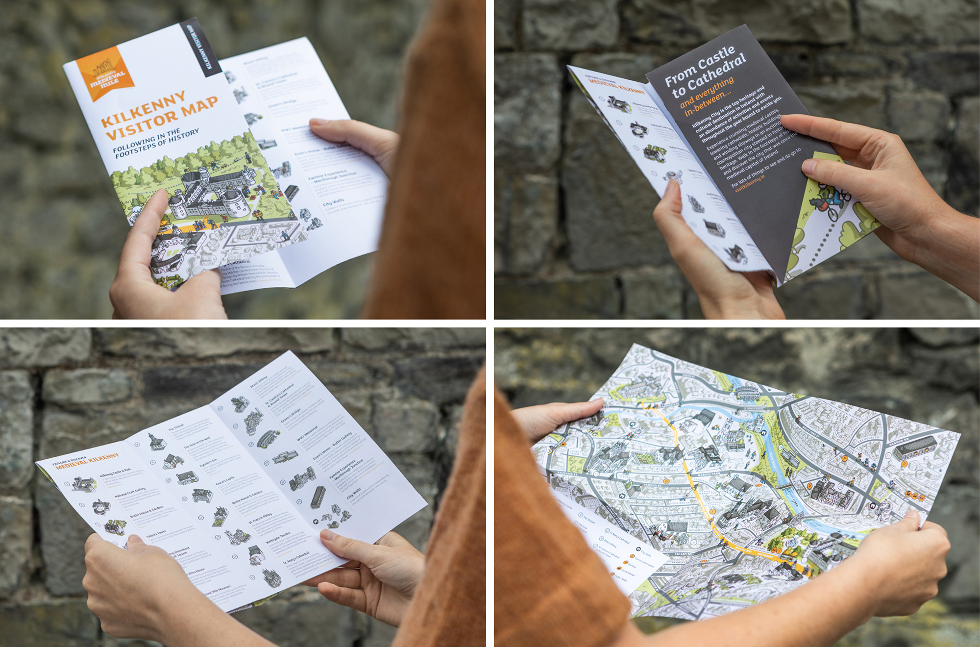
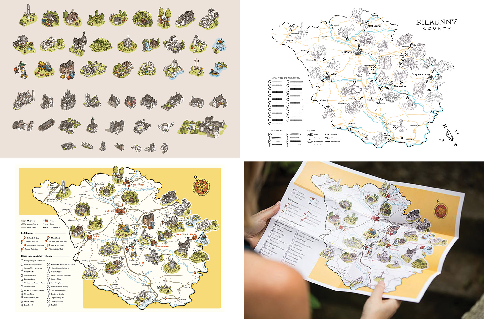
As part of Kilkenny County’s regional tourism strategy, we were tasked with creating a suite of maps to complement the popular Kilkenny City map developed in 2021. The brief was to engage visitors by showcasing the county’s unique charm and outdoor offerings. To achieve this, we collaborated once again with renowned Hungarian illustrator Gergő Gilicz, extending the visitor experience beyond the city to include Kilkenny’s towns, villages, and natural landscapes.
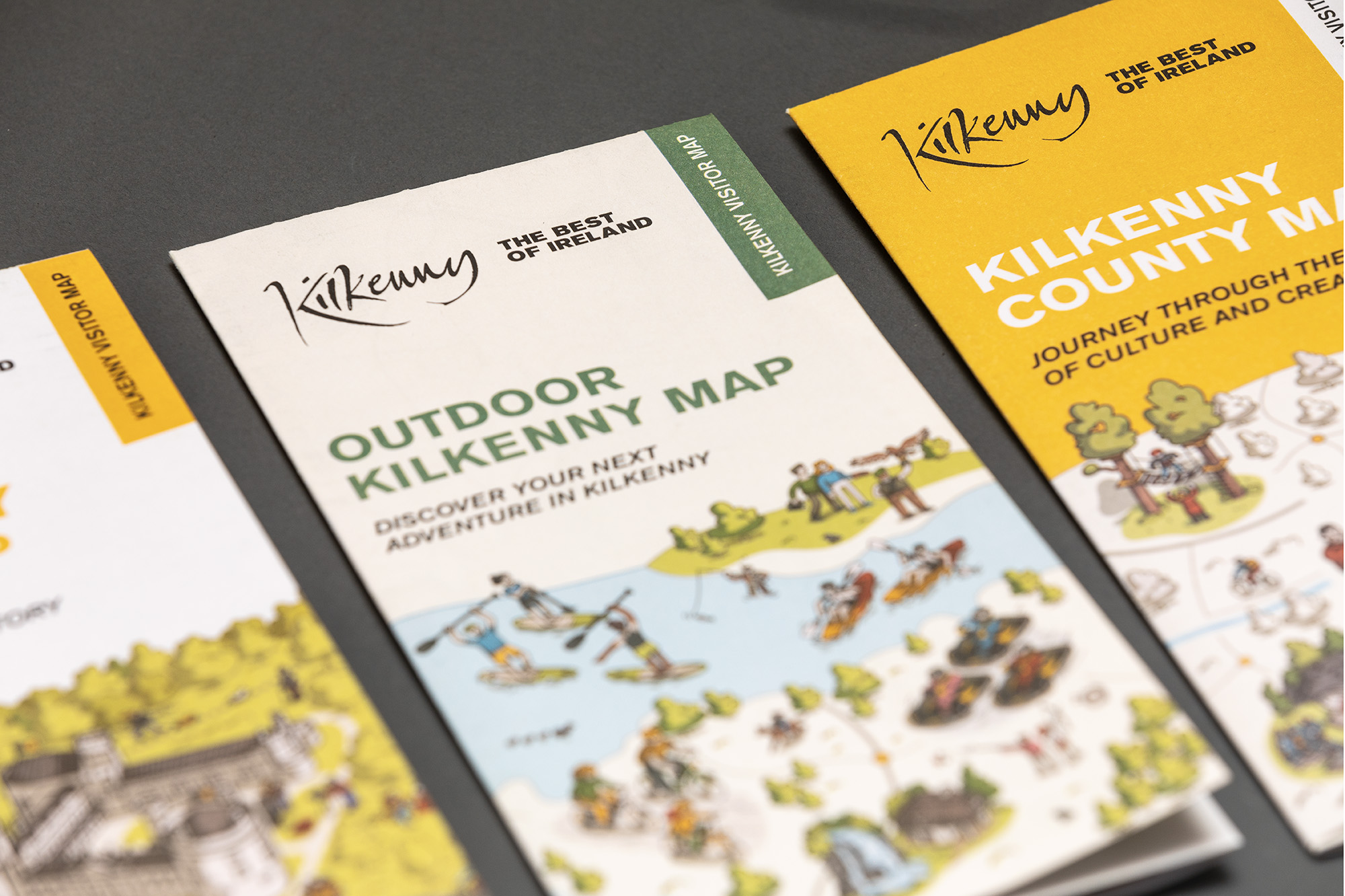
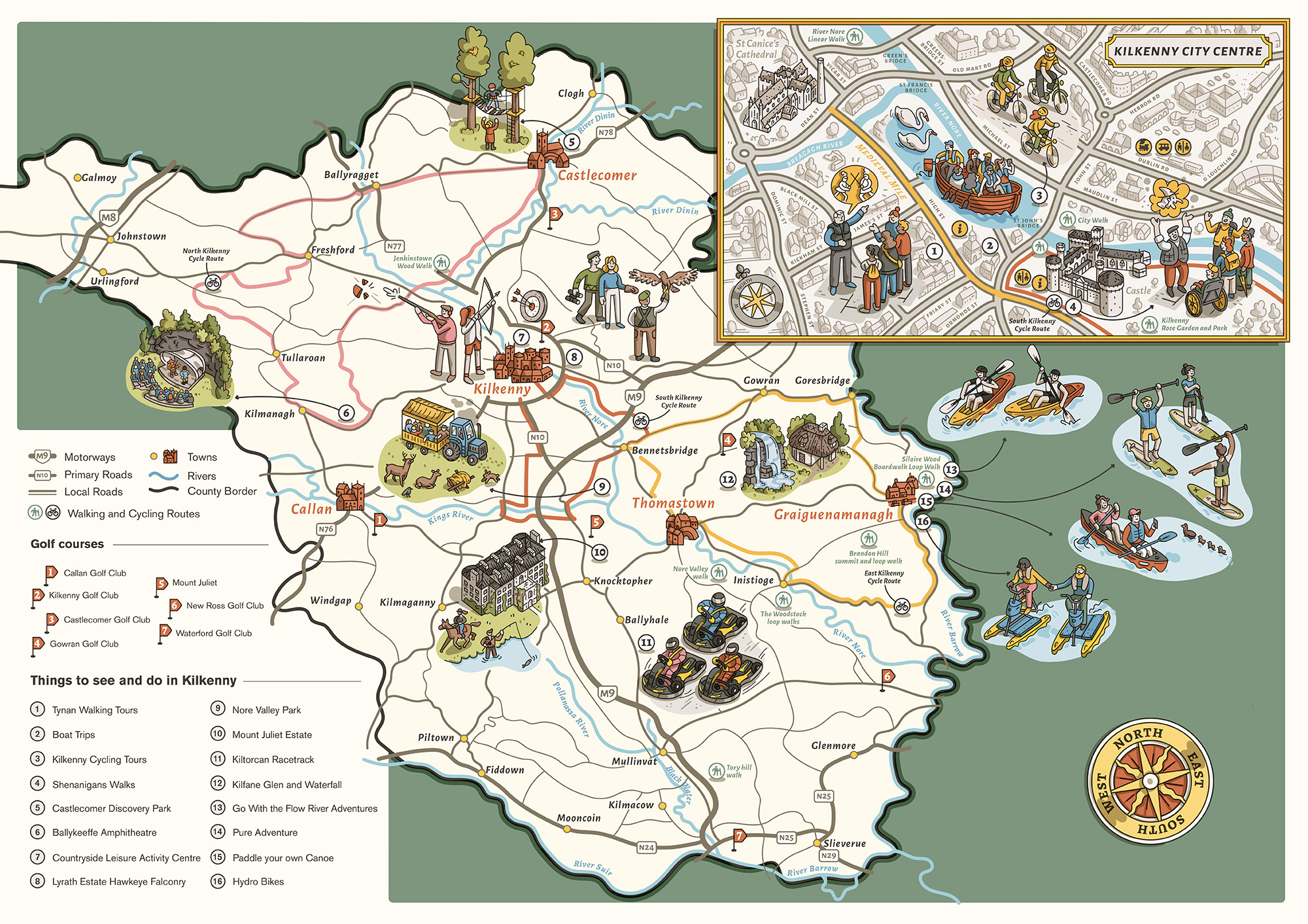
The first map, “Kilkenny County Map,” highlights the geography of Kilkenny’s towns and villages while illustrating key points of interest, from medieval landmarks and cultural hubs to fine eateries and hidden gems. Designed to encourage exploration, it invites visitors to discover the county’s rich tapestry of creativity, history, and hospitality.
The second map, “Outdoor Kilkenny Map,” focuses on adventure, charting trails, cycling routes, activity centres, and river adventures. With engaging details and practical guidance, it inspires outdoor enthusiasts while emphasizing camaraderie and memorable experiences.
Together, the three maps provide a visually captivating and comprehensive guide to exploring Kilkenny’s diverse attractions.