City of Edmonton Pedestrian Wayfinding
2014
Designed by Ronan Kelly at Applied Wayfinding
Design Director: Ben Acornley
Senior Designer: Rob Coomber
Planning Director: Simon Hillier
Categories: Environmental / Signage / Wayfinding
Industry: Civic
In 2016 Applied Wayfinding completed the mapping and signage design for the city of Edmonton. There were a number of aims:
1. Clarify the image of Edmonton and the relationship between its downtown, urban villages and places as a connected whole.
2. Explain how to travel between places in the city and encourage people to consider alternatives to driving.
3. Focus on walking to link different types of transportation and to reveal what the city has to offer.
4. Provide a solution that supports the city and local business, and can work with the effects of seasonal change.
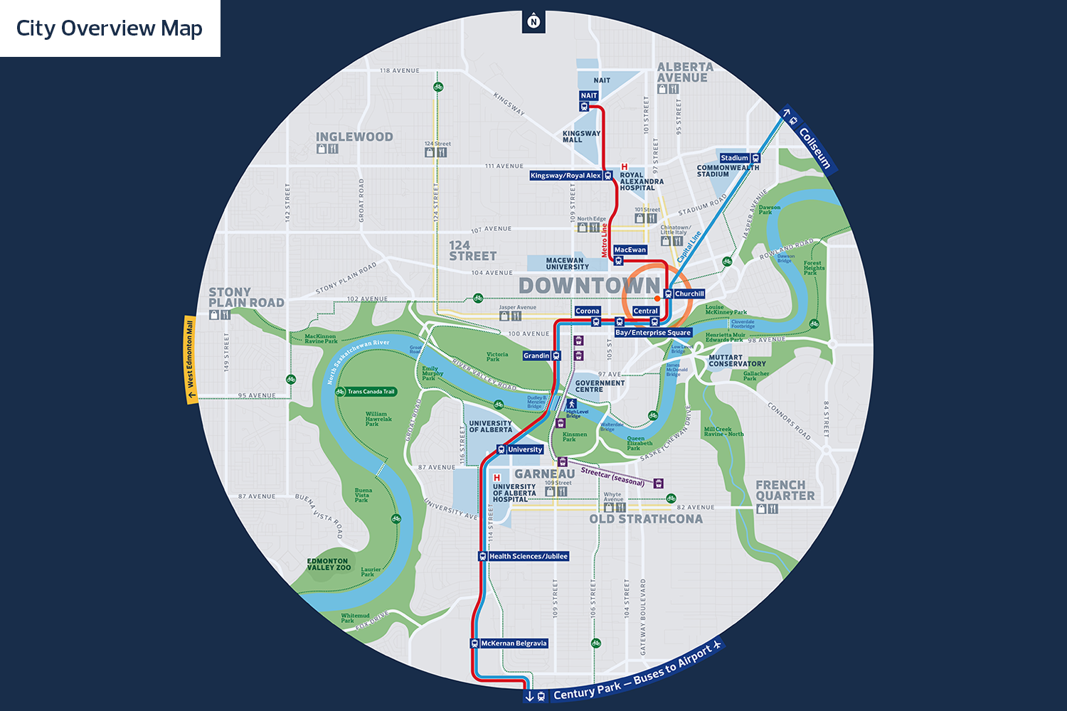
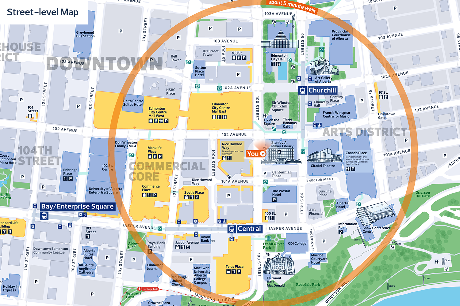
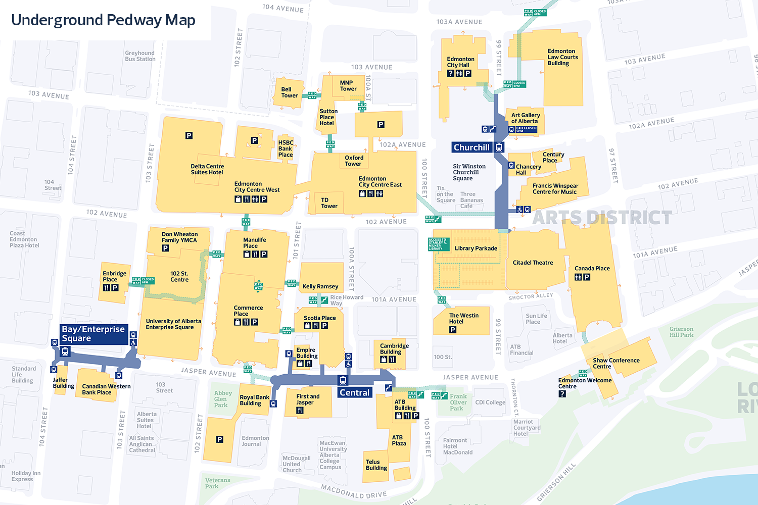
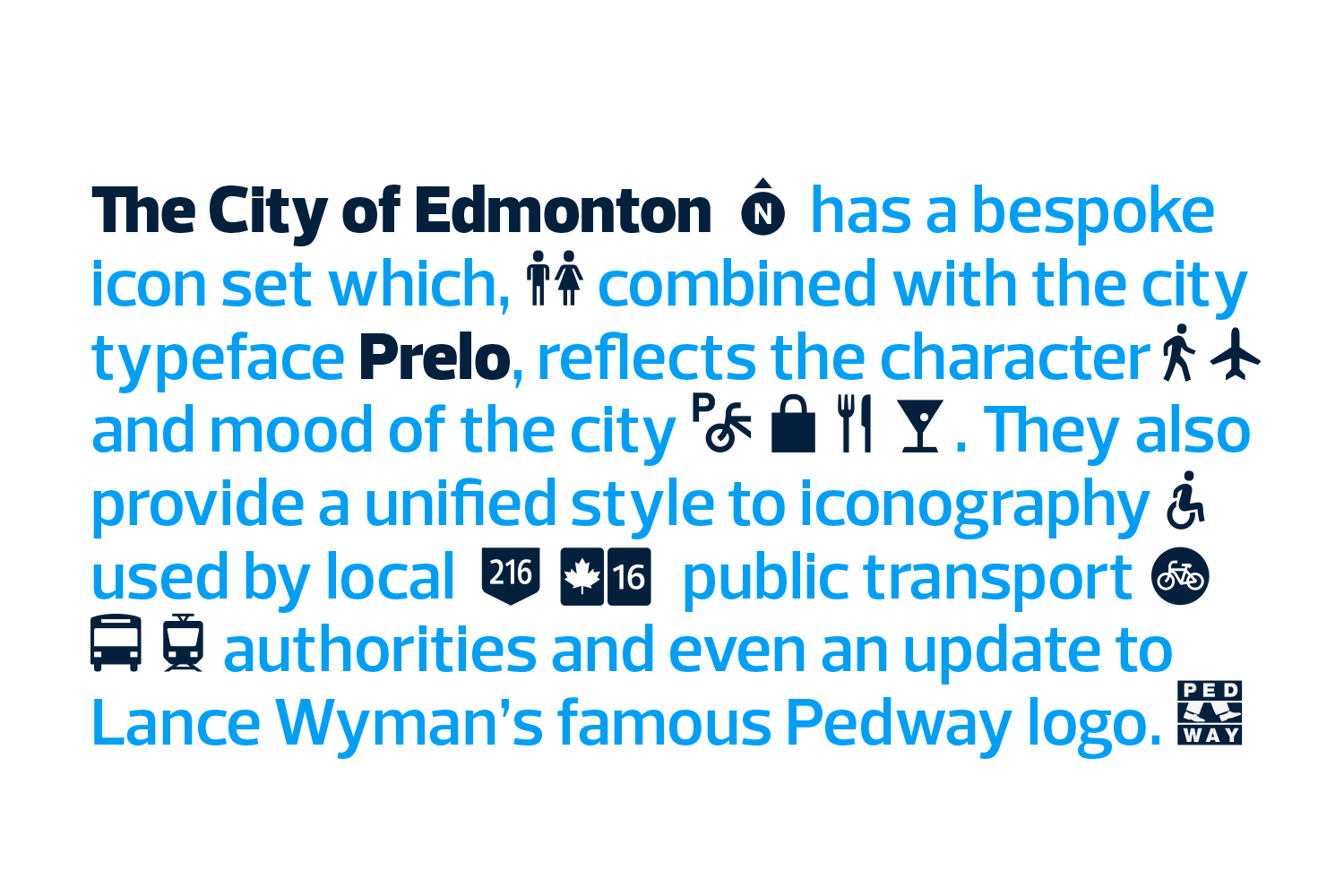
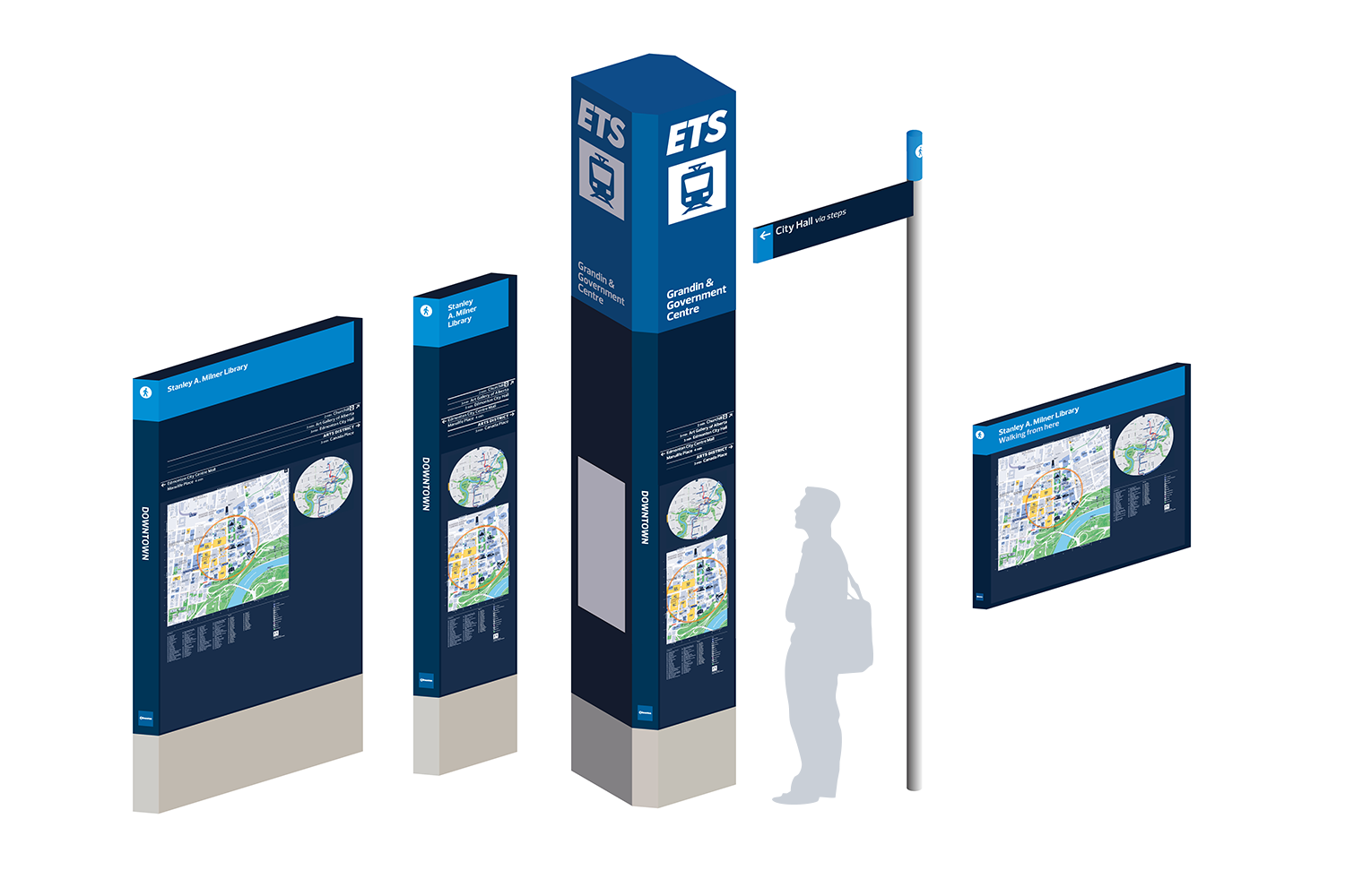
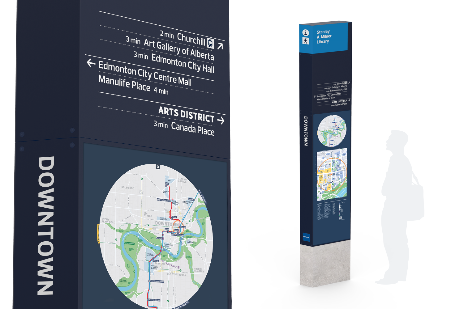
The work done in 2016 was to develop the core system of maps and signs to be implemented throughout the city in 2017. Three scales of mapping and signage form part of a city overview, street level and underground wayfinding system. A unique set of icons was also drawn for mapping applications — based on the city typeface, Prelo by DSType.
All work copyright Applied Wayfinding, 2016.
